Municipal infrastructure
Watermain, sewer and road reconstruction where records are incomplete and conflicts surface during design.
 4D LOCATE SOLUTIONSPEOPLE. PROCESS. SAFER DIGS.
Sectors
The same four controlled steps on every project: Define, Control, Verify, Deliver.
Watermain, sewer and road reconstruction where records are incomplete and conflicts surface during design.
Subdivision and site plan work from pre-design SUE through locate management during servicing.
Corridor investigations, crossing verification and locate support for owner and operator programs.
Road, transit and bridge projects where subsurface conflicts drive schedule and cost.
Selected work
Client names are withheld. References are available on request.
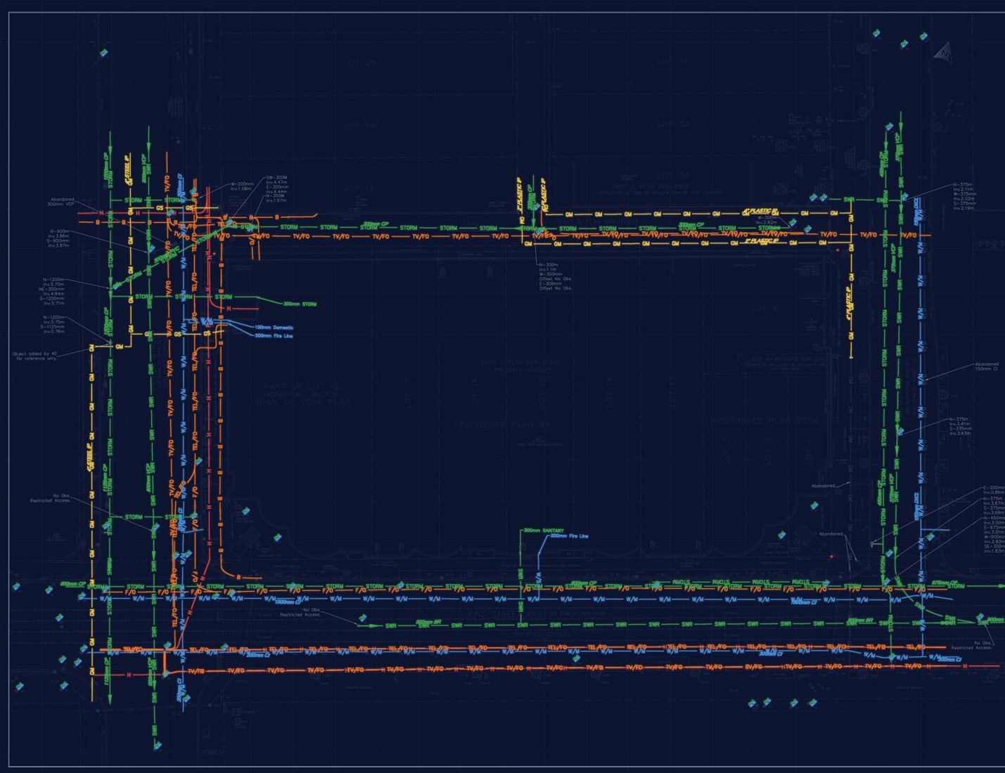
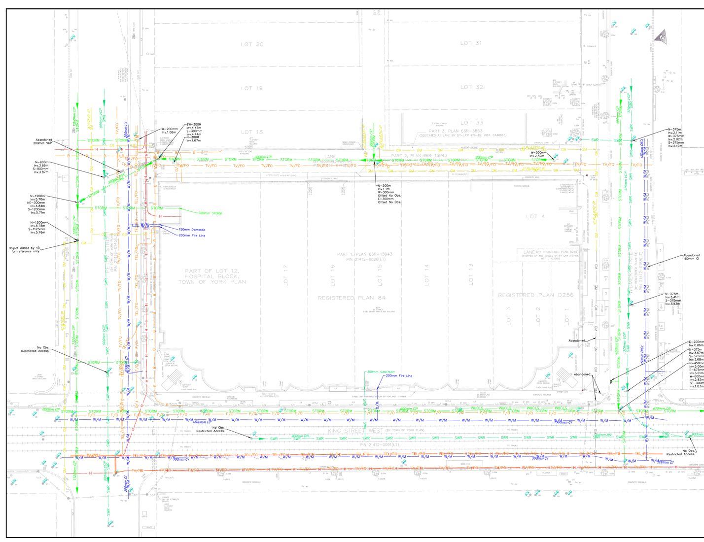
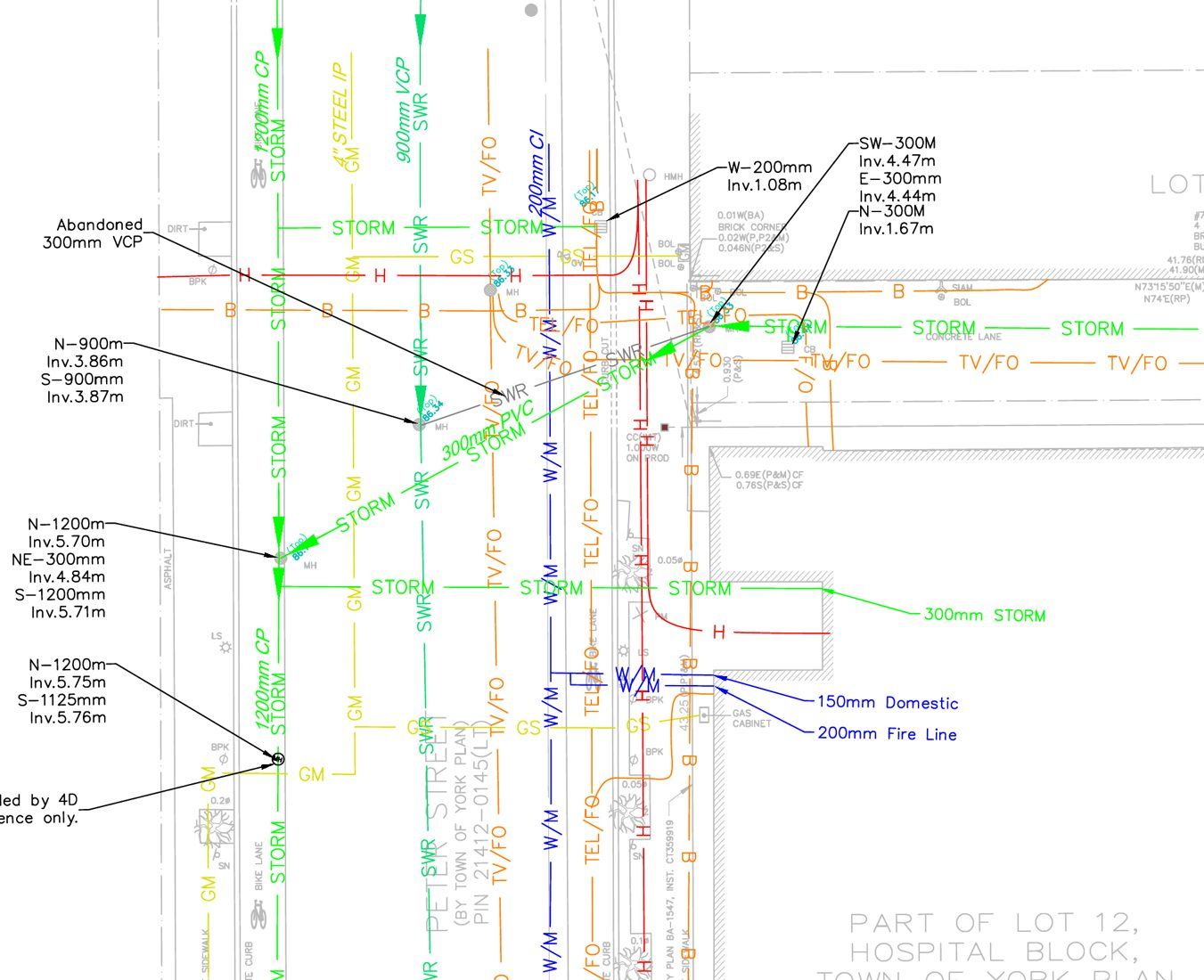
DOWNTOWN TORONTO
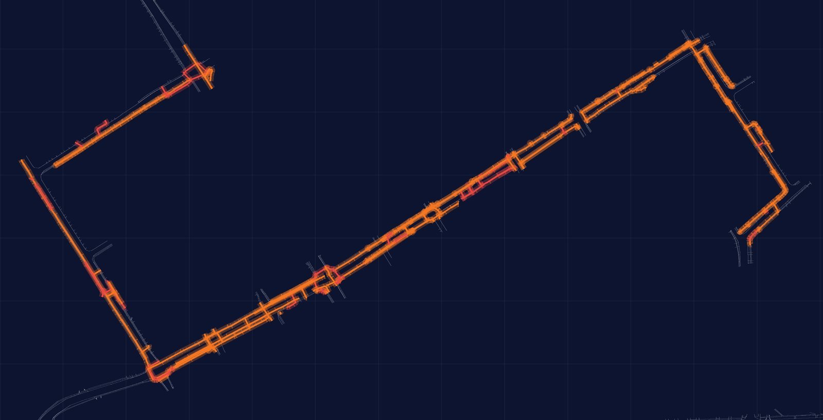
QL-B SUE around a full downtown block before redevelopment design. Watermains, combined and storm sewers, hydro vaults and multiple fibre and copper telecom plants were designated, with structure inverts measured and tied to the survey base.
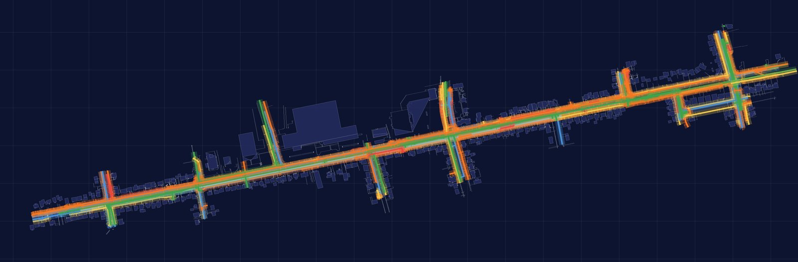
WOODSTOCK
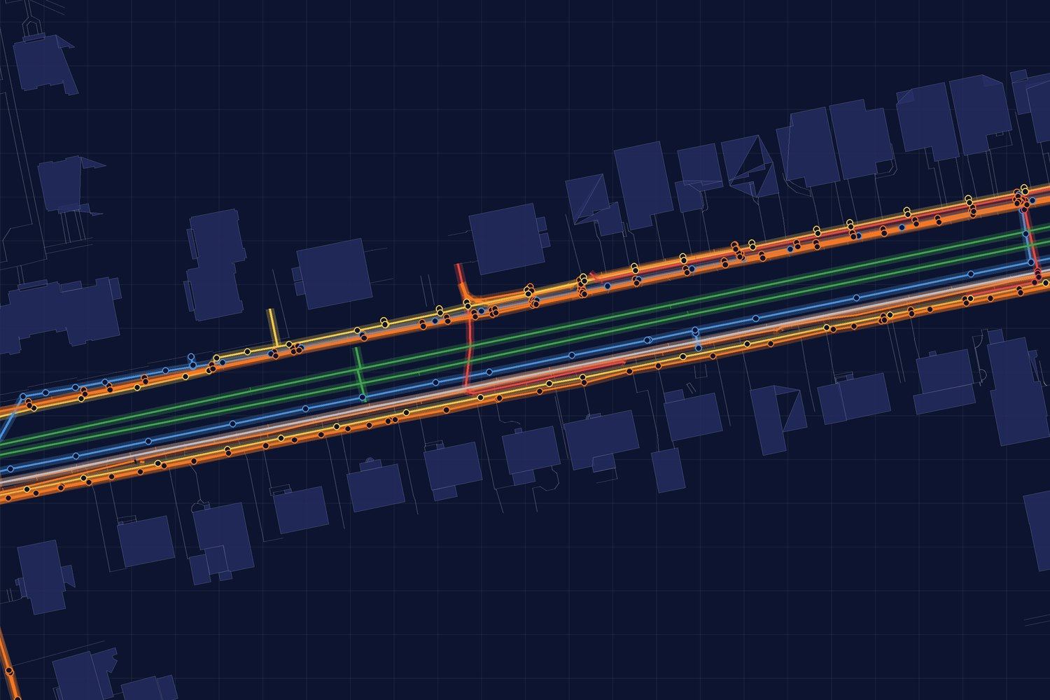
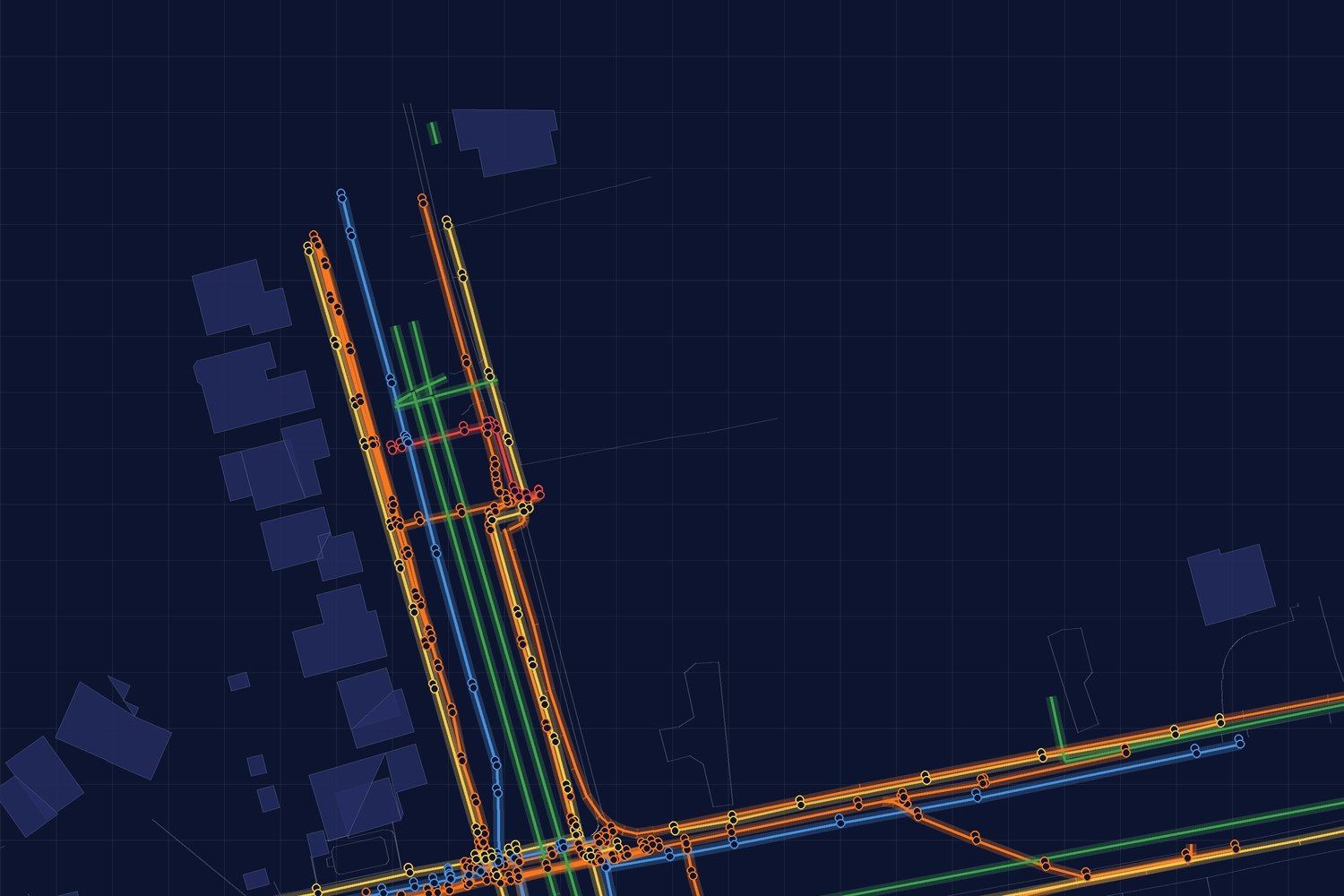
QL-B and QL-C investigation along a 2 km arterial ahead of county reconstruction design. Gas, water, sewer, hydro, street lighting and telecom were designated, structures inspected and inverts measured, then merged into the engineering survey base.
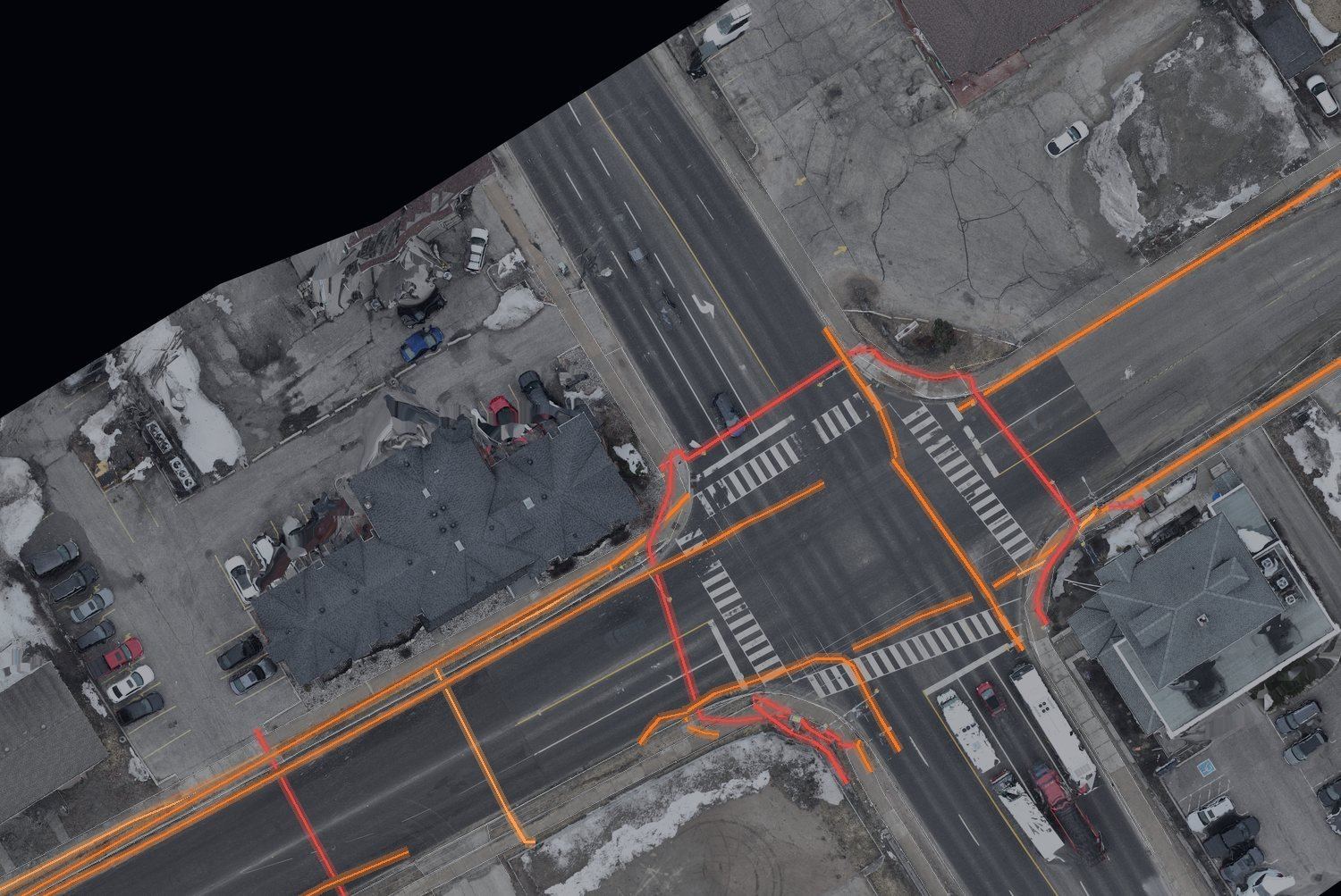
BARRIE
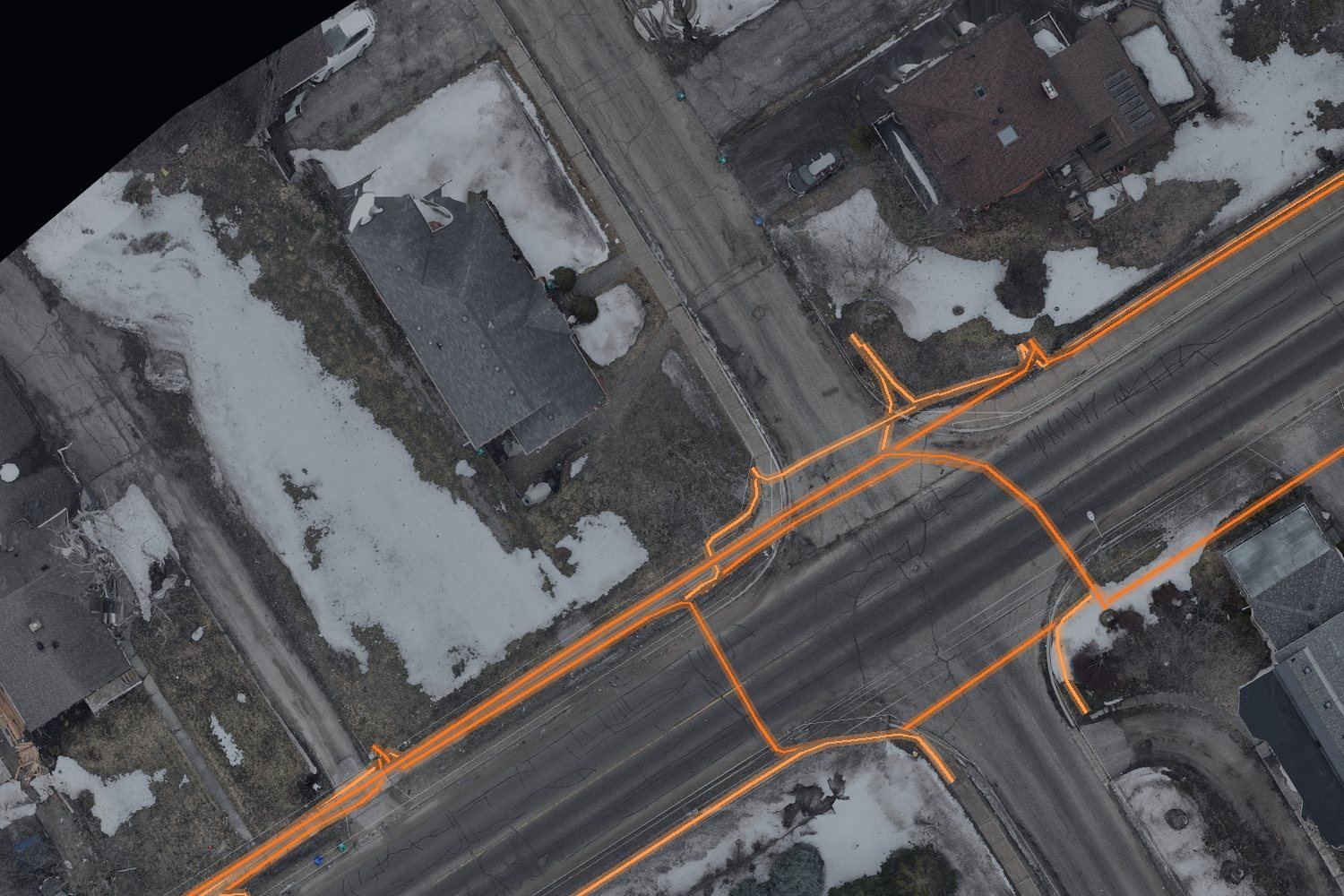
True orthophoto capture of the right-of-way with designated telecom and hydro plant overlaid, so a new electrical feeder alignment could be set against existing infrastructure.
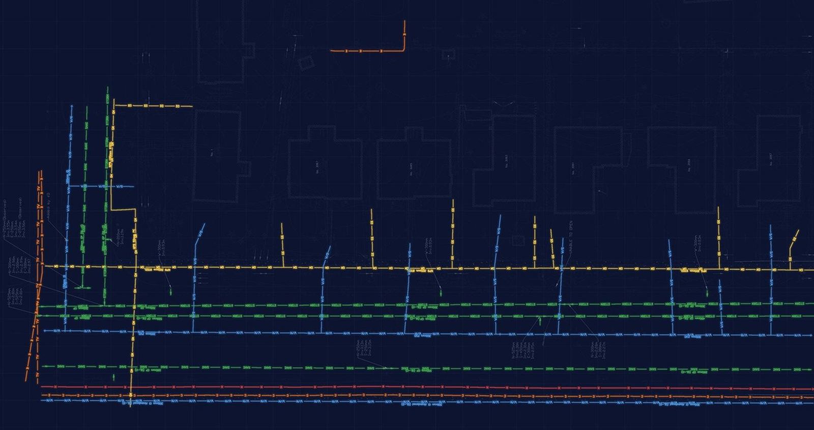
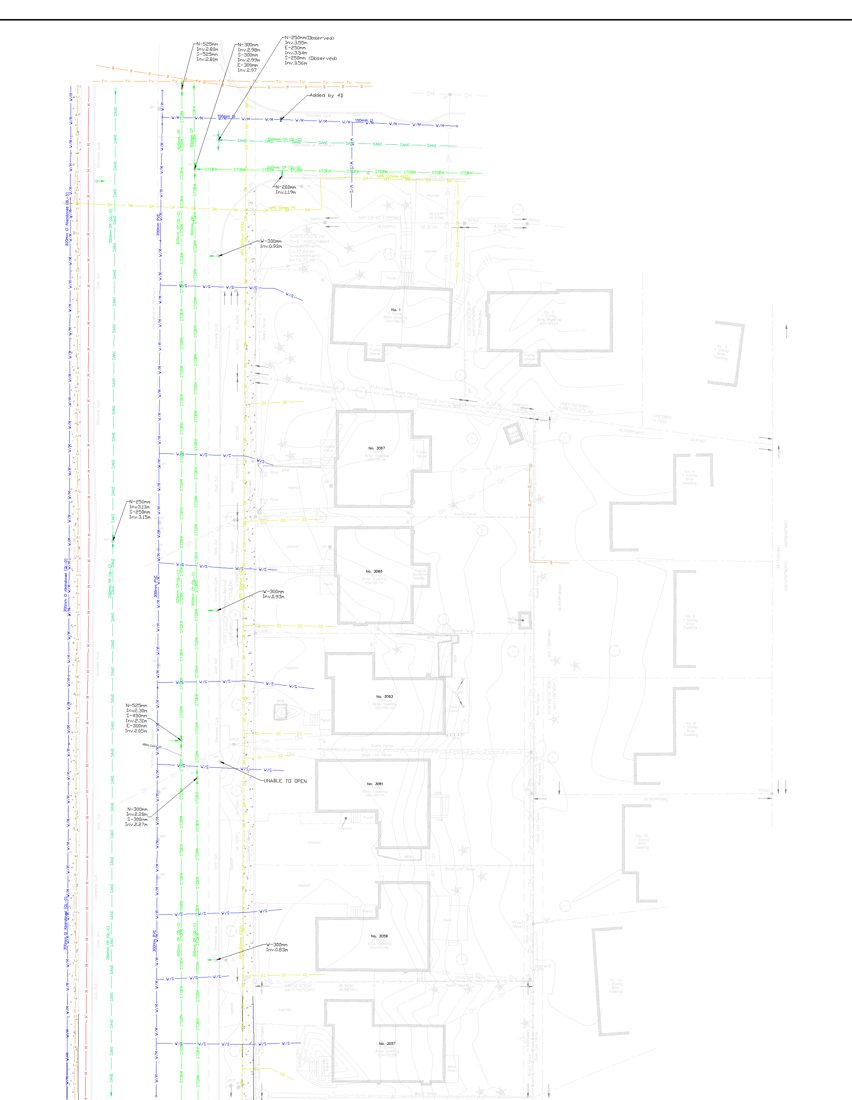
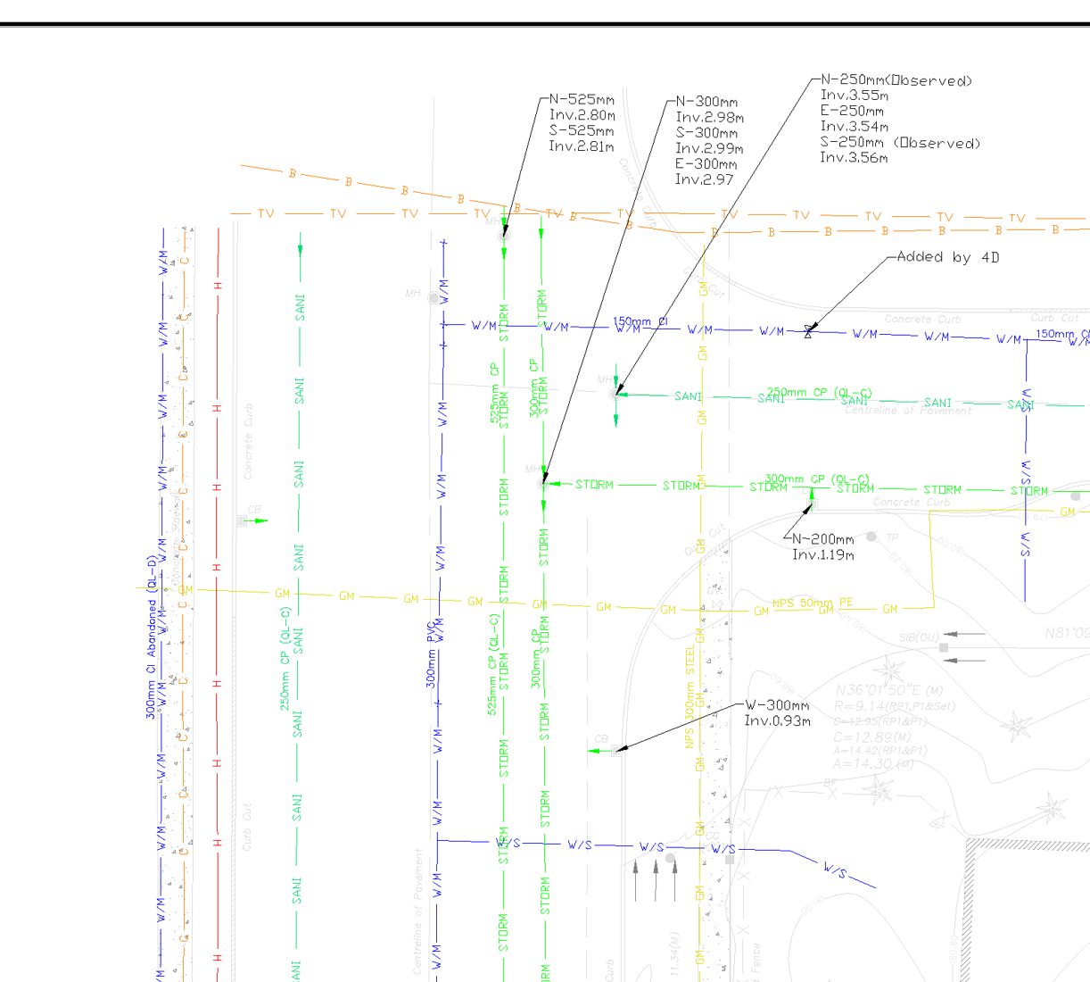
BAYVIEW AVENUE · GTA
QL-B investigation along a busy arterial frontage ahead of site design. A dense corridor of high-pressure and service gas, hydro, Bell, Rogers, watermain, sanitary and storm was separated and plotted line by line.
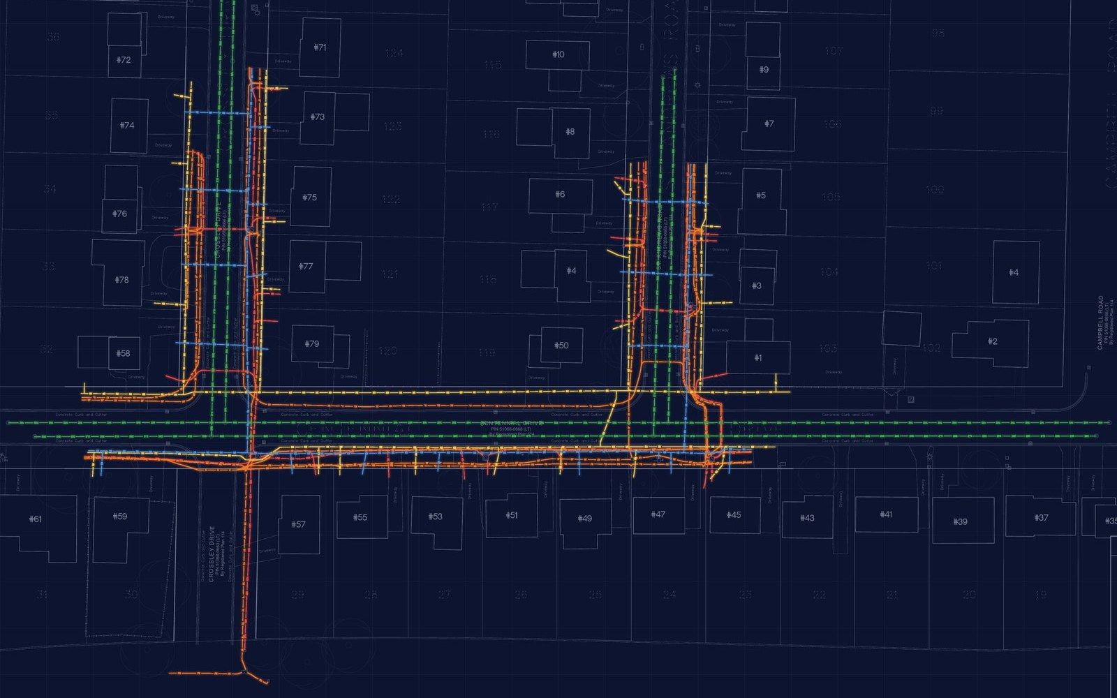
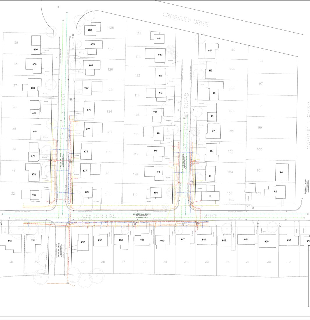
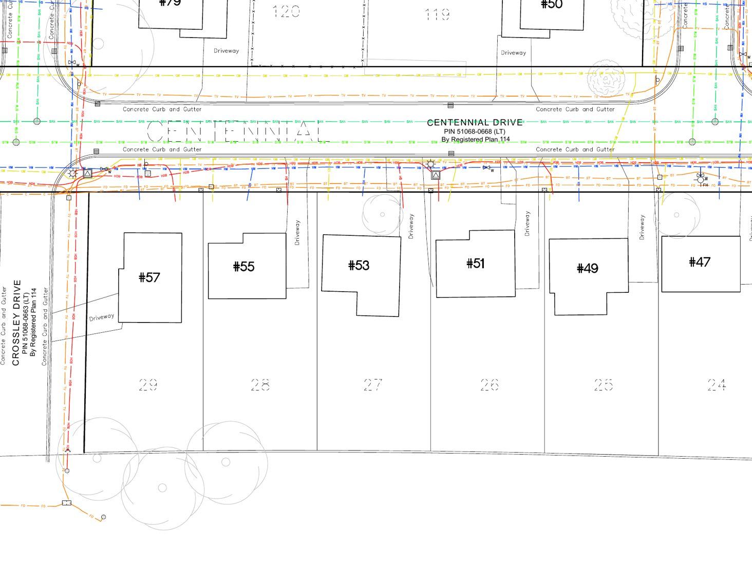
RESIDENTIAL SUBDIVISION
Topographic base mapping and SUI across an established neighbourhood, with each utility classified from QL-D records through QL-A verification for design.
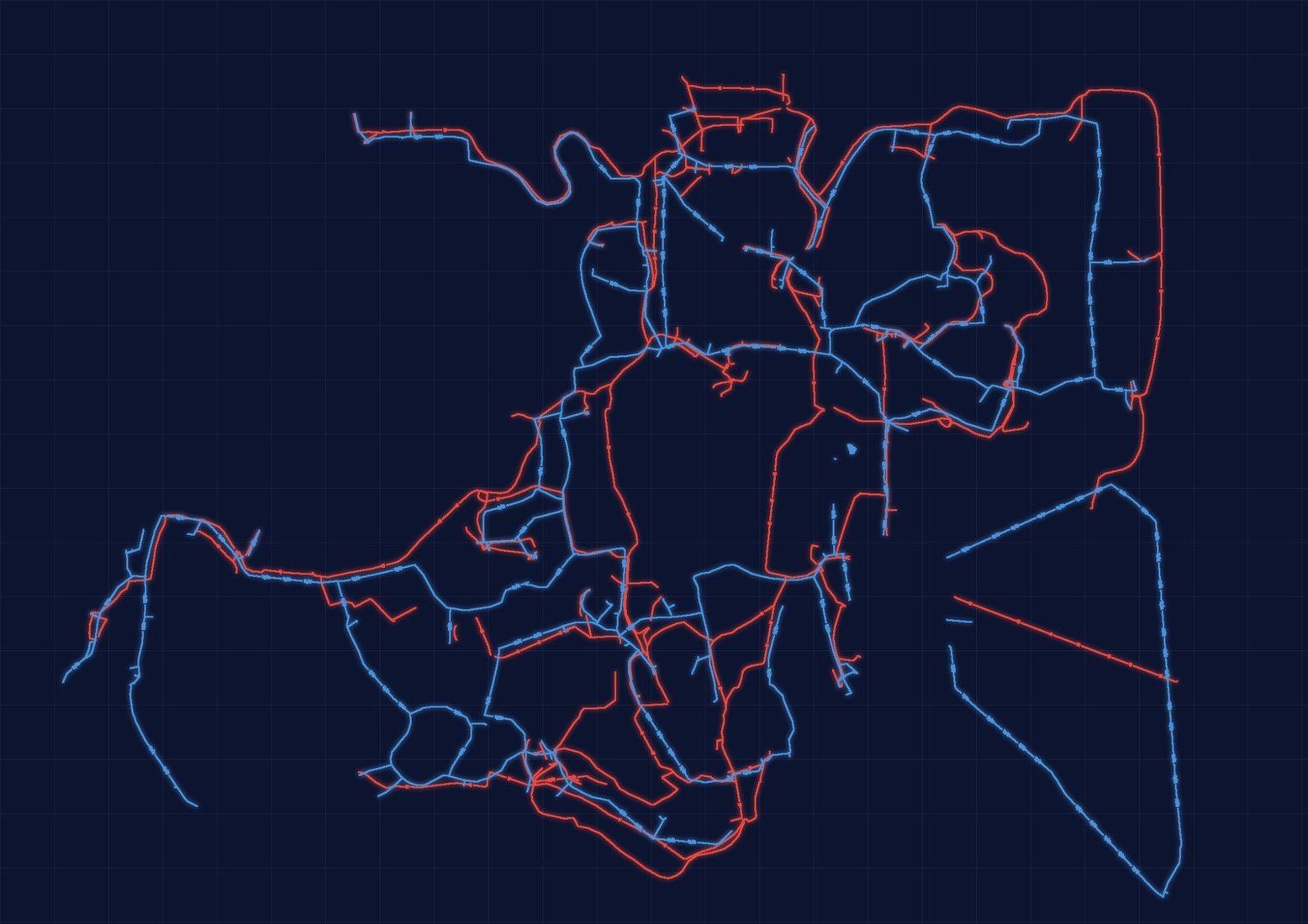
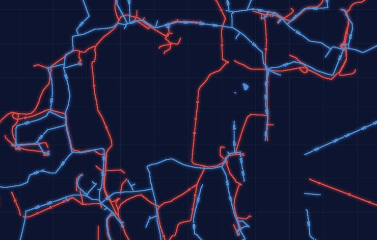
LARGE CAMPUS · GTA
Electrical and water networks traced across a large multi-building campus and delivered as a site-wide map, so the owner can plan site works against what is really in the ground.
Next step